
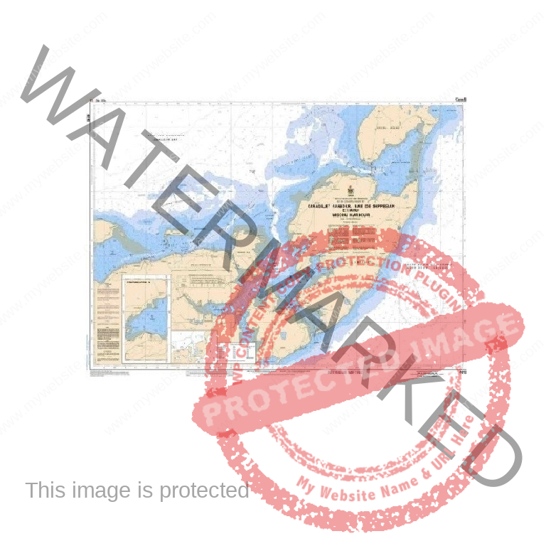
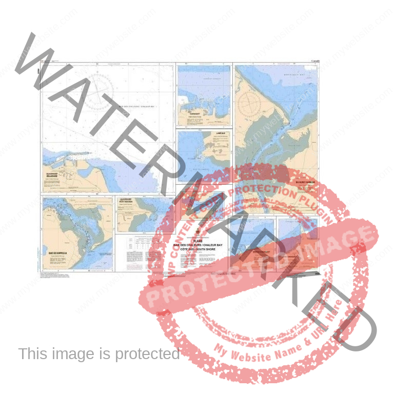
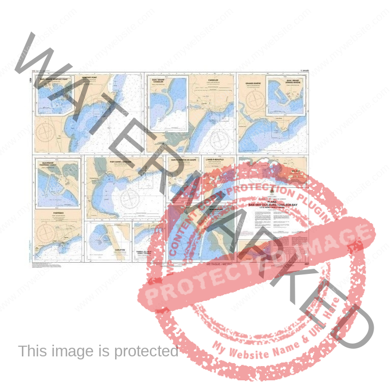


NAUTICAL CHART
19.99$
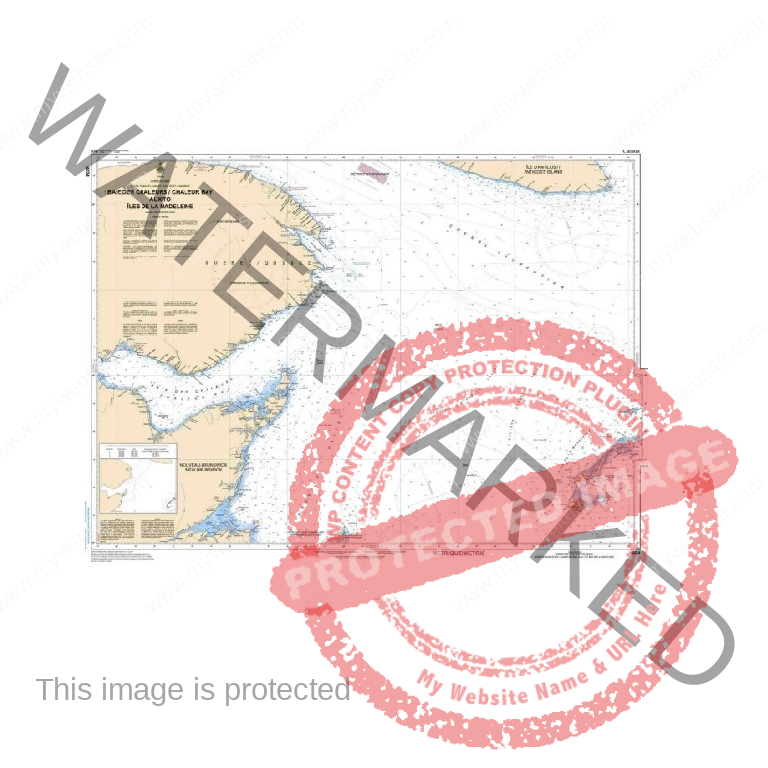
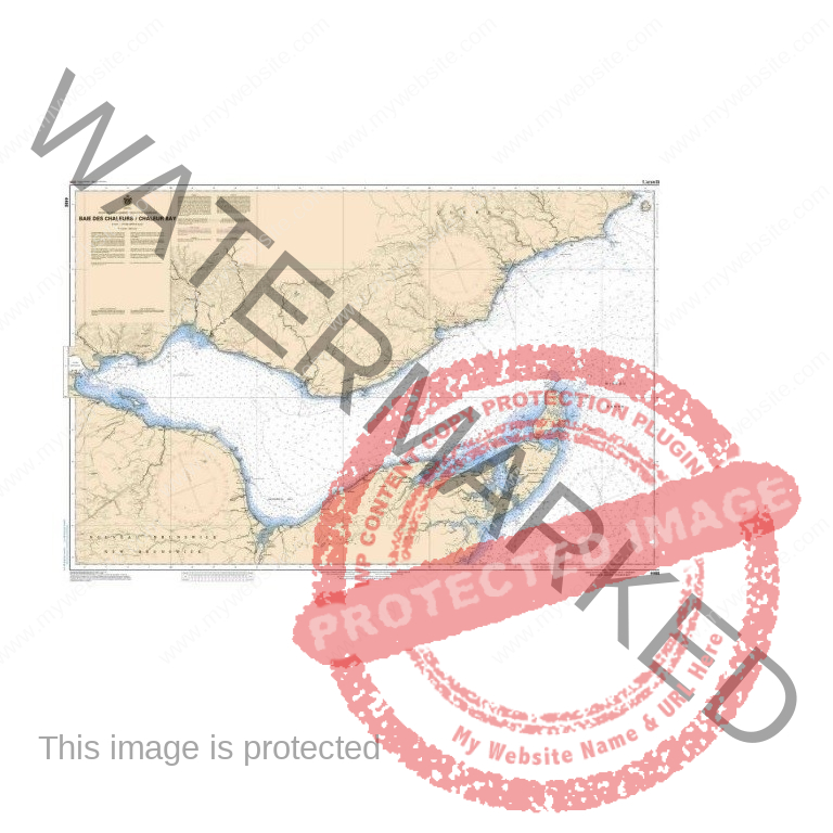
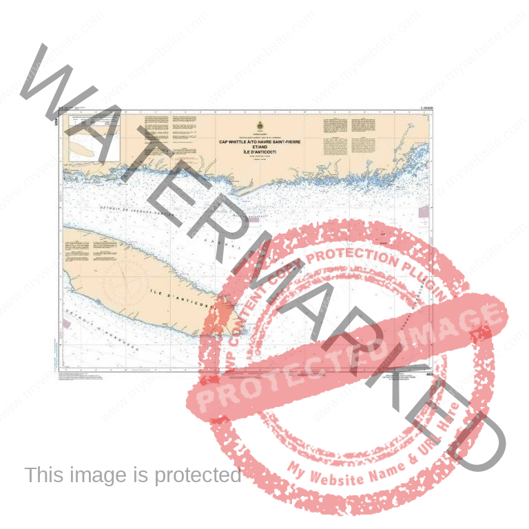
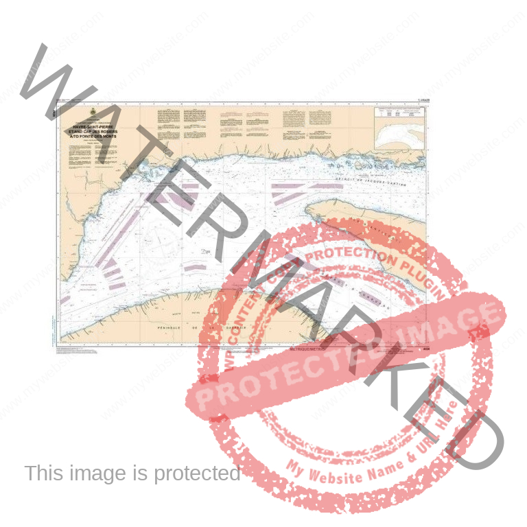
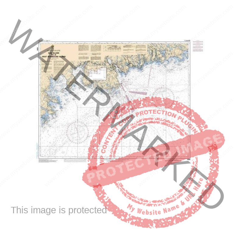
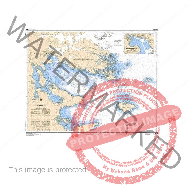
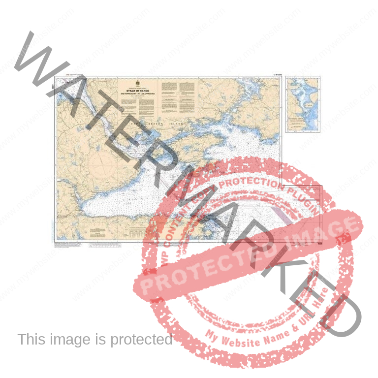
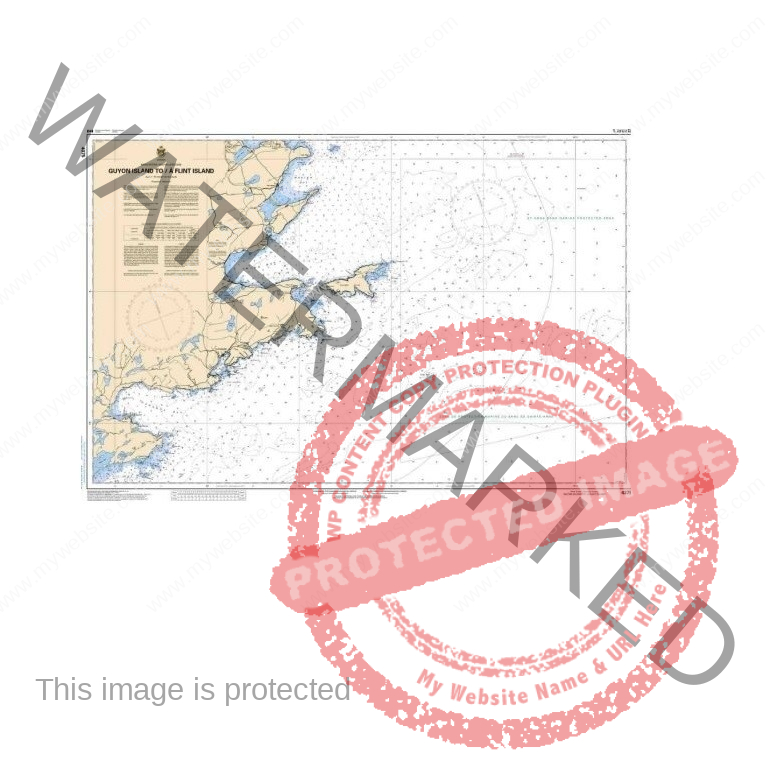
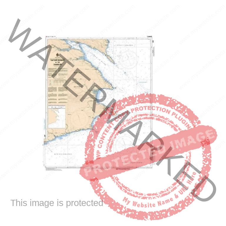
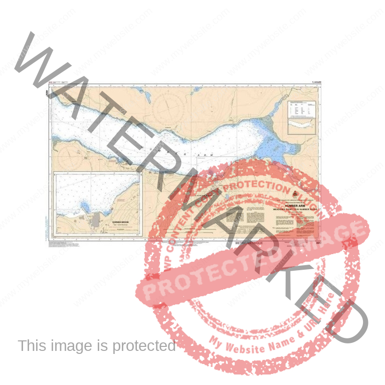
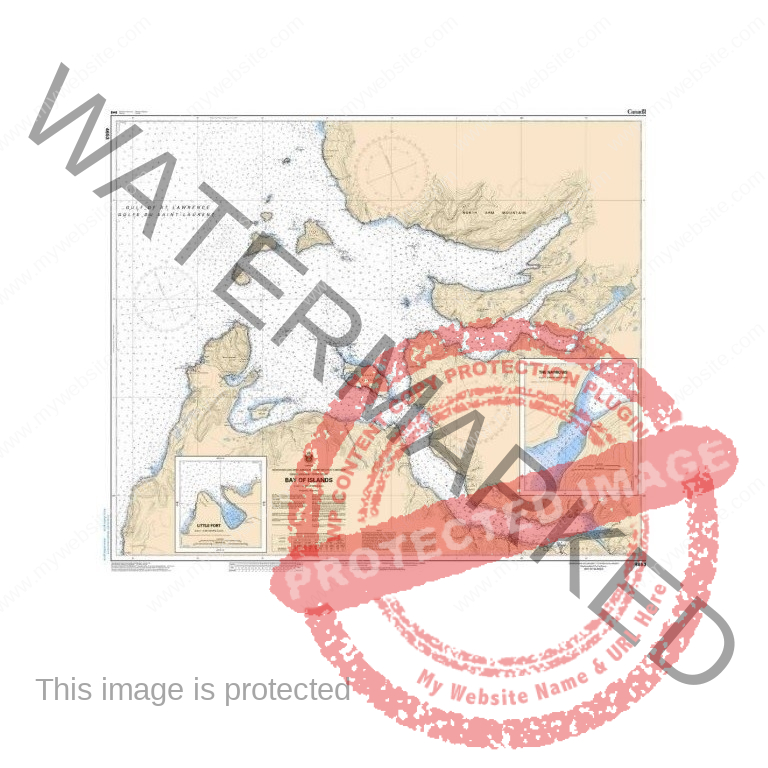
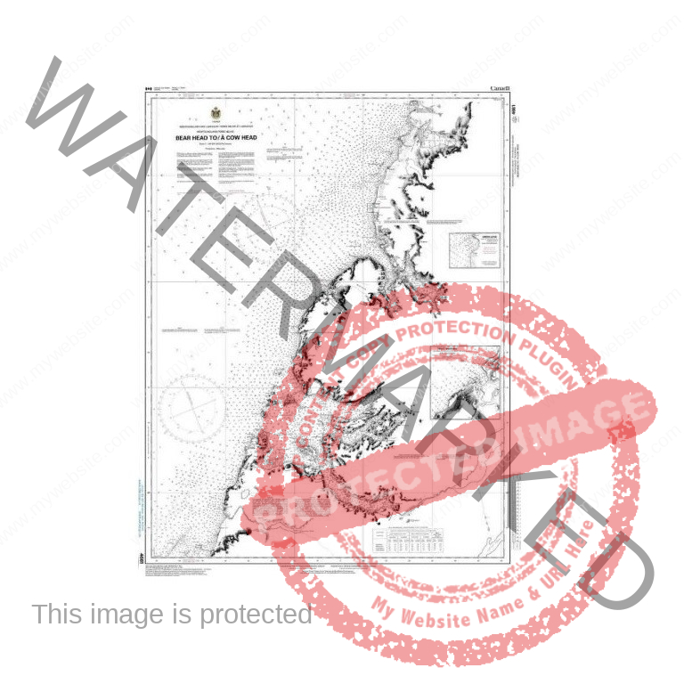
Nautical charts of Eastern Canada and the Maritime Provinces are essential tools for safe and accurate navigation in the waters of the Atlantic Ocean and the St. Lawrence River. Designed for commercial fishers, captains, professional mariners, and experienced boaters, these nautical charts provide detailed information on seafloor depths, navigation channels, fishing areas, buoys, lighthouses, and marine hazards.
Whether navigating the St. Lawrence River, the Gulf of St. Lawrence, the Northumberland Strait, or the coastlines of New Brunswick, Nova Scotia, and Newfoundland and Labrador, these charts offer reliable and precise nautical information.
Essential for route planning, commercial fishing operations, coastal navigation, and maritime safety, nautical charts allow mariners to quickly identify depths, underwater obstacles, regulated areas, and port facilities.
Detailed nautical cartography of Eastern Canada and the St. Lawrence River
Precise depth and seabed contour information
Identification of lighthouses, buoys, and navigation aids
Locations of harbors, ports, and anchorages
Essential information for commercial navigation, fishing, and boating
Durable format suitable for onboard marine use
Improves navigation safety and accuracy
Enables efficient marine route planning
Reduces risks related to shoals and underwater hazards
Essential tool for fishers, captains, and professional navigators
The charts cover the major nautical regions of Eastern Canada, including:
St. Lawrence River
Gulf of St. Lawrence
Gaspé Peninsula
New Brunswick
Prince Edward Island
Nova Scotia
Newfoundland and Labrador